

Having already explored 'inside' (ie, west of) the Great Dividing Range in the early 1820s and discovered the Darling Downs, botanist and explorer Allan Cunningham walked with packhorses north from Sydney for six weeks in 1827, looking for a route to connect the Downs with the Bay. He approached from his campsite in Swan Creek, nine kilometres southwest of Spicer's Peak Plateau, which was as far as he got. He named peak and plateau after Moreton Bay Colony's Superintendent of Convicts, Peter Spicer, and took compass readings of a number of mountains, including Mt Warning further east. His party and animals were exhausted and the route rocky, so he gave up until the following year, when he approached from the east. This time he was successful. By the early 1840s a single horse track allowed settlers along an arduous route through Cunningham's Gap to the Darling Downs.
A few years later, in 1847, a stockman, Henry Alpen, found a slightly easier route, through Spicer's Gap, a few kilometres south of Cunningham's. Convicts were used to build a road that became the preferred route for many years. In an all-too-familiar story, over the next decades most of the ranges around Killarney, Emu Creek, Swan Creek, Cunningham's Gap, Mt Mistake and Goomburra were heavily logged. The Main Range National Park was declared in 1909, and most of it was included in the World Heritage Site Gondwana Rainforests of Australia in 1994.
Only in 1949 did the Cunningham Highway make the crossing relatively easy. Today the road carries a lot of heavy traffic and was badly affected by over two metres of rainfall during the summer of 2010-11. Landslips opened up huge clefts in the road. Reconstruction work is only just nearing completion (estimated date November 2012) and will have cost $60 million dollars.
We stayed in Spicers Peak Lodge on the Plateau, in the middle of a 3650-hectare cattle station that includes 2430 hectares of Nature Refuge. The Refuge protects ten regional ecosystems including Brigalow, Ribbon Gum (tall open forest), Iron Bark and Forest Red Gum ('Koala tree') woodland, Mountain Coolibah, and Stringy Bark, Grey Gum and Yellow Box open forest. Unfortunately, we didn't see any koalas but we did see these Red-necked Wallabies...


The next day we planned to drive to Mt Barney via Spicer's Gap Scenic Drive. We had an out-of-date map and didn't realise that you can no longer drive through the mountains via this ancient pass. As we tried to find the western approach, I was put straight by a couple of locals in a petrol station: so the only way to go was through Cunningham's Gap with its scary trucks, slow caravans and impatient idiots. And still the road work continues. We were relieved to turn off on to a deserted Lake Moogerah Road 10 km before Aratula.
We followed Spicer's Gap Road, a narrow track climbing through forest, as far as the Governor's Chair. People used to make the difficult journey to this north-facing lookout on the Scenic Rim: Sir George Bowen, Queensland's first Governor, came here from Brisbane town regularly in the 1860s. Unfortunately the sun had deserted us and the famous panorama was blue-grey. There was a stale smell of burning and some blackened vegetation – and at least two cigarette butts.

The Scenic Rim is a spectacular arc of mountains stretching from Mt Mistake in the west to the Springbrook Plateau in the east, much of it the result of volcanic activity 25 million years ago. It has craggy peaks and cliff-edge escarpments; open eucalypt woodland and remnant ancient rainforest; and a remarkable variety of fauna and flora that include many rare and endangered species.
We hugged the northern edge of it as we drove east, heading for Mt Barney National Park: many of the roads are little more than gravelly tracks in this part of the world. We were constantly distracted along the way and progress was slow. We stopped by Carney's Creek so I could photograph one of my favourite subjects, only to hear the most extraordinary birdsong and see Scarlet Honeyeaters darting among same-coloured Banksia flowers.


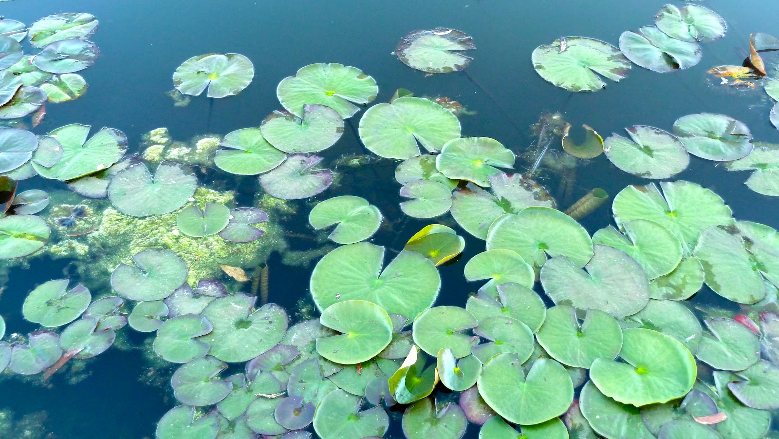
We picnicked on the lakeshore in the grey and marvelled at just how many different birds we could see – egrets, coots, ducks, grebes, cormorants, darters, jacanas, black swans, pellies and a drongo. The partly drowned landscape had a surreal feel in the dead light.


No comments:
Post a Comment