It was time once more to attempt to drive down the Condamine River Road. We were en route, in a roundabout fashion, to Maryvale, west of Cunningham's Gap; there hasn't been much rain in months; and I'd checked with Warwick tourist information office, who declared the track open. We made a fairly early start: west along the Ipswich Road; down the 93 to Boonah for coffee; along the Boonah-Rathdowney Road as far as Carney's Creek Road; and then up and over the Main Range. (For more detail, see
Off road: Mt Superbus and the source of the Condamine, May 2012.) It was overcast when we left Brisbane, but the further southwest we got, the bluer the sky became.
The Teviot State Forest is tink-tink country. Periodically we stopped and cut the engine so we could listen to the Bell Miners' delightful ringing. It is the most soothing, relaxing bird call.
First, there was a little distraction: the precise source of the Condamine. The river is usually said to rise on the slopes of Mt Superbus, the highest, albeit unimpressive, peak in Southeast Queensland. We'd studied The Head area on Mud Map* and were convinced that, in fact, the source is just west of the Main Range watershed (and the Teviot Falls) and not far from Spring Creek Road along which we were crossing the Range. It hasn't rained much recently, but the young river's dry course running through this tumpy, swampy mini plateau was evident. Not much further down, it contained a small stream.


We could have traced the narrow course back further, possibly into the forest, but we had a time constraint and it was, inevitably, on private property or otherwise off limits. I have since found further evidence of the source being here*, but yet other topographical maps show the Condamine's furthest head stream reaching into the forest beneath the col between mounts Superbus and Roberts. Our Warwick NatMap* shows this and what looks like an intermittent loop close by, as well as two streams coming off Mt Superbus a little way downstream. I'm sure that, during the Wet, many rivulets pour off the slopes of Mt Superbus into the Condamine along its upper reaches, which perhaps it why identifying the river's source is not an exact science.
We were always going to go down the Condamine River Road, no matter what, so the 'road closed' sign had little impact. Hoons had probably dropped down the lower half of the sign, we rationalised. A kookaburra observed knowingly from a roadside post – always a good omen. Or maybe he was thinking, 'Reckless idiots'!
I had promised my friend I wouldn't make him stop at every one of the 14 crossings, but the first had to be recorded, right? It wasn't challenging.
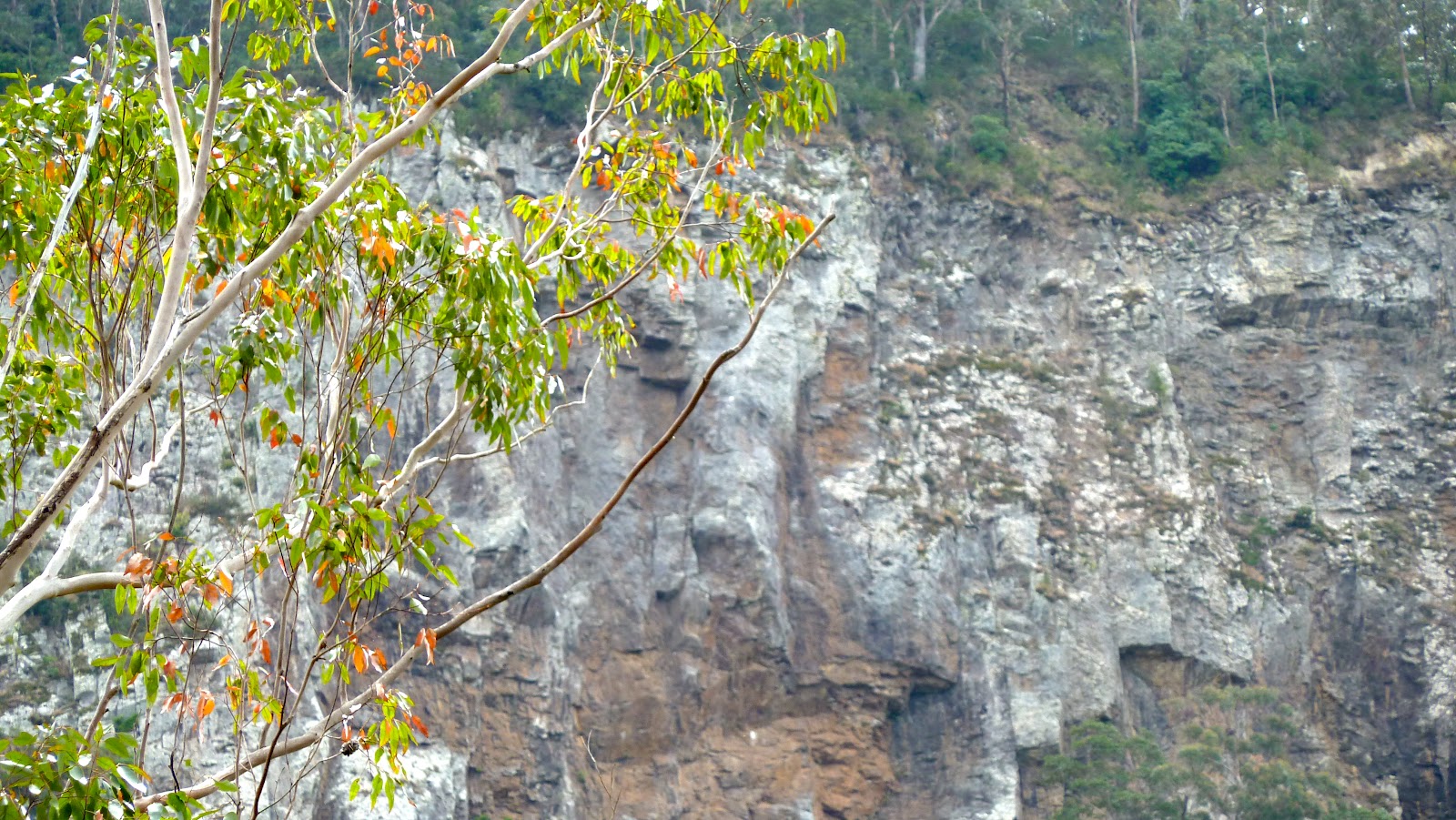
As we got deeper into the gorge, the rocky valley walls became higher, the track got rougher, the forest glades more beautiful and the crossings deeper or wider – with more interesting names, some of which reflect historic happenings at that point. Bullocky Crossing was where teamsters used to rest on their route through the gorge. Billy John Dagg must be the same as in Dagg's Falls on the nearby Spring Creek, but I haven't been able to confirm this.
We came across old friends as well as new ones. Superb Fairy-wrens dazzled even more than usual against a rocky backdrop; a Black-shouldered Kite looked quizzical on a wire. Less obliging photographically were Eastern Yellow Robins, a Sacred Kingfisher, Rufous Fantails and Little Corellas. Albert's Lyrebird eluded us yet again.
All too soon we crossed the last of the 14 crossings, which was running quite deep. Only slightly more water in it and we might have been in trouble. So this really is a dry-weather track. I know it soon becomes impassable after heavy rain, but I was surprised how much water there was in places. Double Crossing (third from the Killarney end) rarely dries up because a mountain-fed creek feeds into it just upstream. And Andrew Evan's Crossing is a reminder that the man died while trying to get his cattle across the flooded creek.
Condamine River Road comes out in North Killarney, from where we took a steep rutted track up towards Mount Colliery for views across the plains to the southwest, before continuing across country north to the Cunningham Highway.
*
http://www.whereis.com/qld/the-head/condamine-river-rd#session=NDA=
http://trove.nla.gov.au/work/152836915?versionId=167426263
NatMap 9341 Warwick Topographic Map 1:100,000
Mud Map GPS app for iPhone
http://maps.bonzle.com/c/a? a=p&h=20000&i=554&j=554&
amp;nudge=1&x=152%2E495303294428&y=%2D28%2E
1885151418134&c=1&p=27233&w=20000&mpsec=0#map


No comments:
Post a Comment