


Half an hour up the road from Tobermorey we noticed the Cauliflower Gums – our name, since we haven't the vaguest clue what they are. (If you know, please tell in the comments box below.) When we got out of the car, the excited chattering of birds breakfasting on the flowers was all around. There were large flitting flocks of Masked Woodswallows, a difficult subject to photograph. We could also hear doves and Zebra Finches.


 |
| Masked Woodswallow |
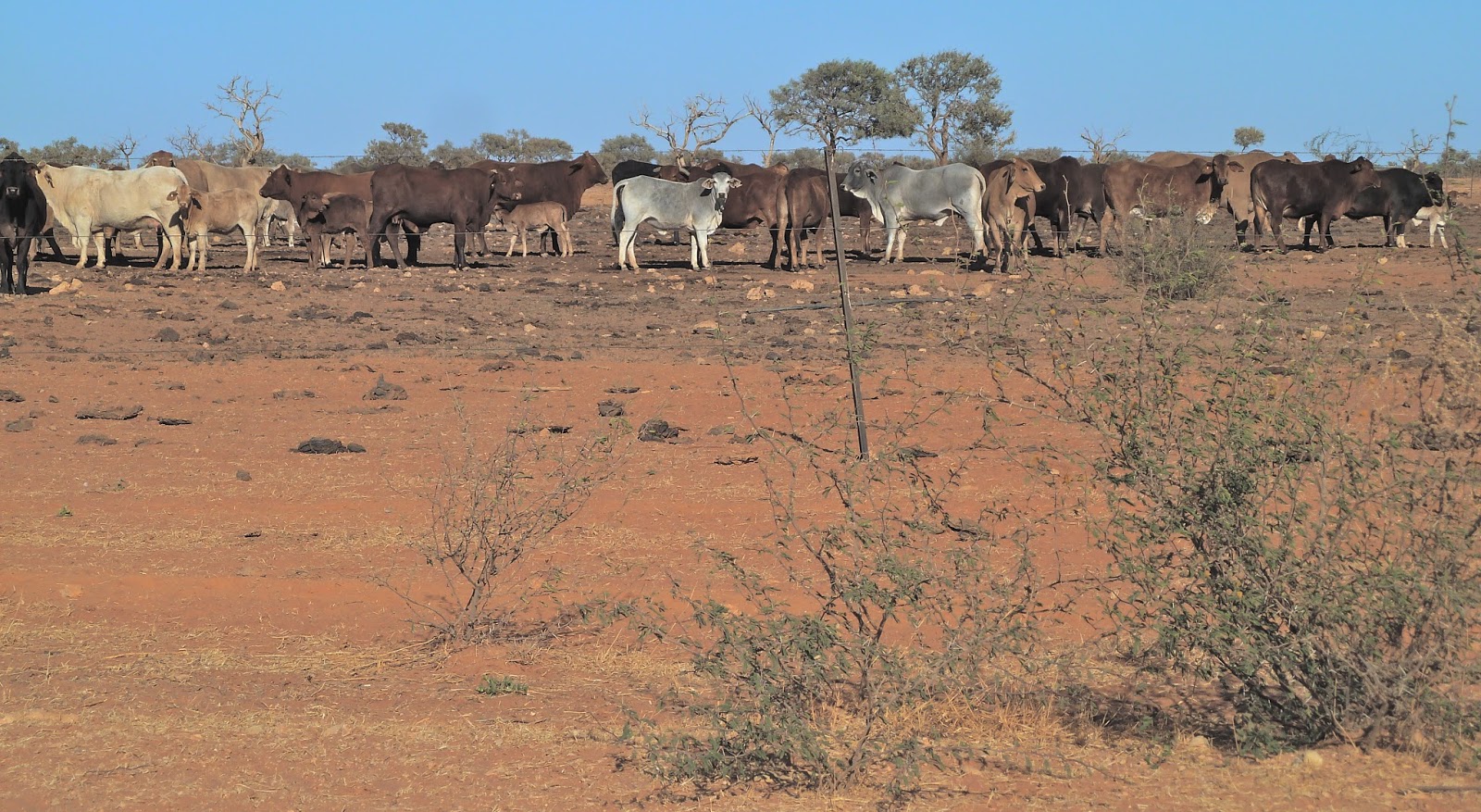
Soon the vegetation changed; we came across the first bulldust hole in a while; and cows were still eating Australia.


 |
| Cows and Galahs |


 |
| Beware the fruit police |


 |
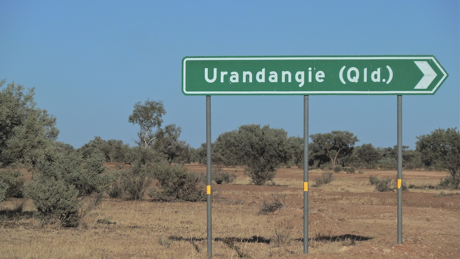
| Not much going on to the right, then? |


So, does Urandangie have an 'E' or not?
We stopped at the Dangi Pub – the Urandangie Hotel – for a drink, and soon got chatting to owner Pam Forster. She came here from Victoria seven years ago, loves the heat, and has no desire to go back. We shared the love of the Outback.
We stopped at the Dangi Pub – the Urandangie Hotel – for a drink, and soon got chatting to owner Pam Forster. She came here from Victoria seven years ago, loves the heat, and has no desire to go back. We shared the love of the Outback.

My friend went out to the car for his camera and when he came back I'd disappeared, invited to go with Pam behind the bar. I had no idea where I was going, or why, as she led the way out back. There in the yard were several roos, most of the them joeys. My jaw dropped.
Pam explained to me that the local Indigenous people eat a lot of bush tucker and, when they kill an adult kangaroo, they sometimes find a joey in a pouch. They bring the joeys to Pam. The first one, Chaddy, arrived five years ago: he's a lot bigger now. She tries to encourage her charges back into the wild; leaves open gates to freedom. But they come back. Life is just too comfortable at the Dangi. The babes are bottle-fed every four hours, including through the night, in Pam's bed.
Warning: lots of super furry marsupials to follow…


 |
| Chaddy on Thor's bed |


 |
| Thor, long-suffering American Bulldog, and companion at lunch |

Suddenly Pam plonked Sienna in my arms and handed me a tiny bottle. Cue rock-a-baby mode, with a ridiculous grin on my face.
Indigenous peoples have long crossed this region from the Northern Territory to Queensland. The town was founded in 1885 on the Georgina stock route, used by drovers on their way to the railhead at Dajarra to the east. During the droving months – from March/April to November/December – as many as 100 mobs of cattle came through Urandangie, also a stop-off point for travellers from The Isa to The Alice. By 1920 there was a general store, and eventually there were two stores, two hotels, a post office and a police station. The town held sports days and race meetings. As seems inevitable in Outback town histories, one of the hotels burned down. Today, Urandangie is a mostly Indigenous community. The pub is the community hub and there is a small school.
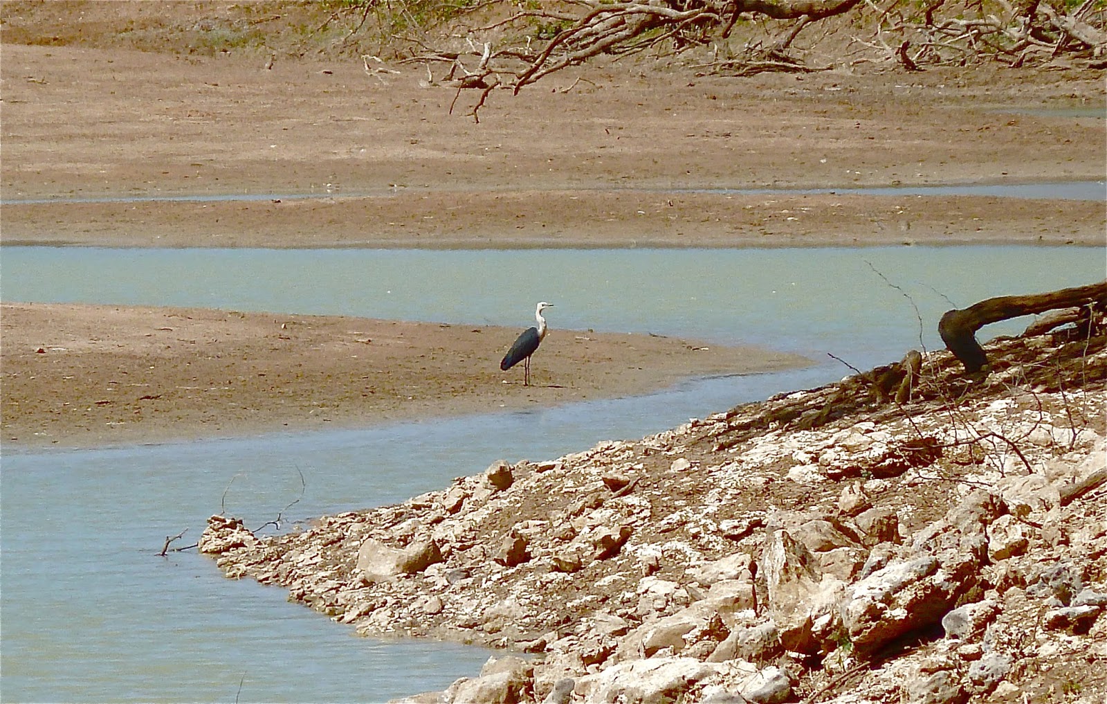
Pam knew of my friend's interest in rocks, so she drew us a map to take us back up the road to Rocky Hole, which we would never have come across otherwise. Not only were there what looked like out-of-place white rocks, there was a waterhole. There was water in the Georgina, after all. And a White-necked Heron. We called into the Dangi quickly on the way back through to tell Pam that the rocks were limestone.


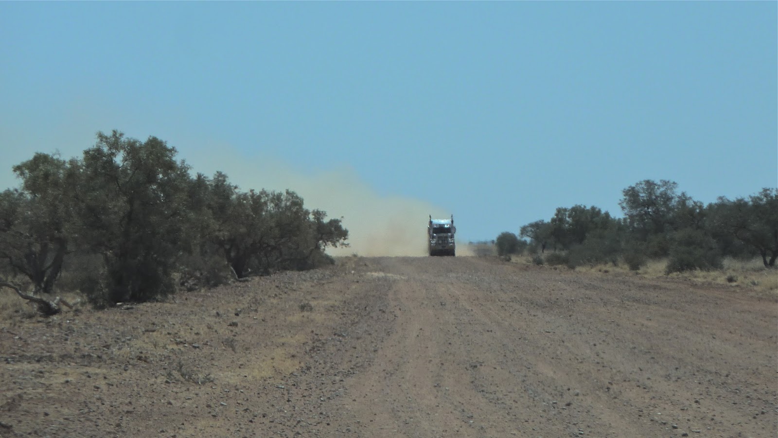
The approach of a road train along a deserted dusty dirt track is a daunting prospect once you've had your windscreen cracked a few times by flying gravel. We pull right over out of their way and stop dead. The timing of the final photograph in the sequence is a challenge: the truck has to be bearing down on us but not half-passed in a blur. Practice makes perfect.


 |
| Too far away |
 |
| Take 2: too late |
Take 3…


Further north up the Urandangie Road, the landscape became even emptier and a tad desolate.


At one point the track took us one way (pink) while on the map it went another (brown). Keep going and hope for the best outcome when unexpectedly off-piste: this had happened to us before, on a previous trip.

About 20 km beyond – by No 16 Bore to be precise – we really didn't know which way to go. Only by going right a little bit did it become obvious from our satellite-plotted course on the iPad Hema map that we should have gone left. The cows were bemused by our coming and going, and approached as we sat studying the map. I think they hoped we had hay bales in the back.

 |
| Which way would you go? |


Camooweal Caves National Park is southeast of Camooweal, the turn-off about 12 kilometres from town on the Urandangie Road. We weren't at all sure where the access road would be: older maps show more routes through the Park. This track looked fairly new.

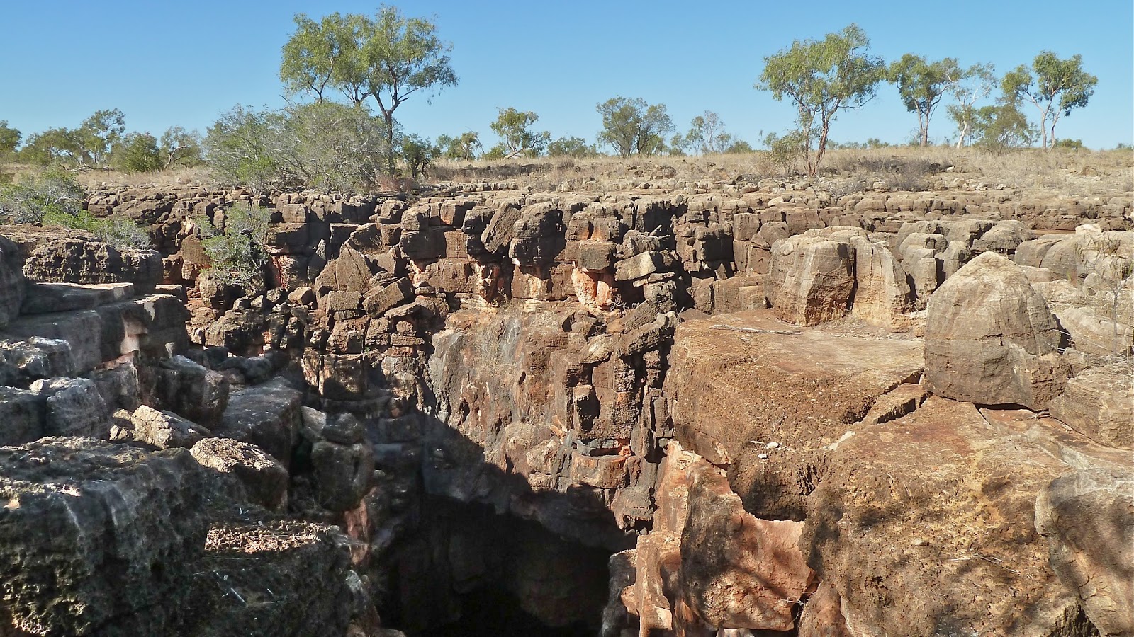
Once upon a time I think there was greater access, but health and safety concerns have led to visitors being restricted to one small part. There are many sinkholes, you see. They are evidence of an extensive system of dolomite caves, which are unique in Queensland, and secondly only to the karst system of the Nullarbor Plain. Here we're on the Barkly Tableland, consisting of dolomite beds laid down beneath a shallow sea 550 million years ago. The fact that dolomite is less soluble (than limestone) in rainwater, and this is a low-rainfall region, makes this cave system even more remarkable. The sinkholes were not spotted until aerial photographs of the Queensland part of the Tableland was studied in the 1970s.
The fractured rocks at the top of the Great Nowranie Cave, which is 18 metres deep, show how water dissolves the dolomite and opens up cracks. During the wet season, water gushes down the holes into the caves and continually reshapes them. Seasonal flash flooding is the reason that stalactites and stalagmites never get a chance to grow. We don't know where the underground water ends up, but surface water flows to Nowranie Creek and then the Georgina River.
You might just stumble upon a sink hole – and into it – in the Eucalypt and Mitchell Grass landscape if you were allowed to wander willy-nilly. You are therefore limited to a 220-metre-return track to the Great Nowranie Cave, and the 70-metre-return walk to the Little Nowranie Cave, which is much smaller. So, don't go to this National Park for a challenging hike. The public are not allowed into the Caves at all, but in 2014 a new viewing platform was constructed overlooking the Great Nowranie Cave.


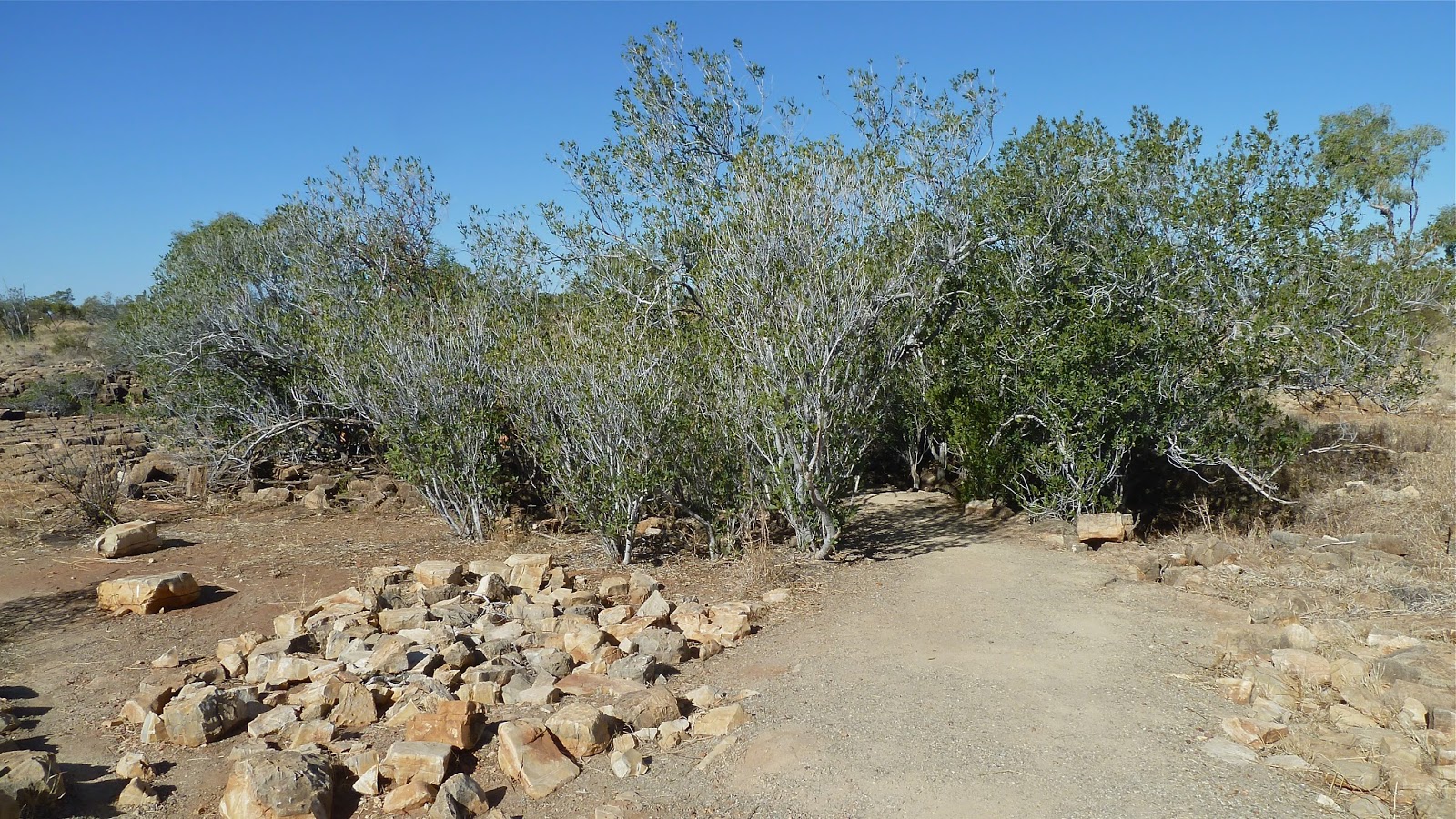 |
| Hiding a hole |
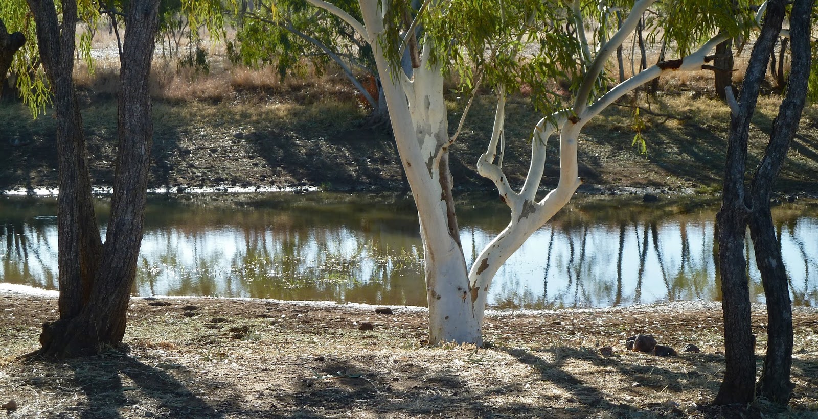
Afterwards, we visited Nowranie Waterhole, an oasis of calm in the warm late afternoon sun. Many Little Corellas were sitting silently together in the one tree: then, by means of squawked signals, they reconvened in a tree on the opposite bank of the Creek. Black-winged Stilts were almost indistinguishable in the shallows.


We drove the last few kilometres into Camooweal, to the strains of Busby Marou singing 'Luck', of course (see Outback 3 Route Revisions, June 2015). We quickly checked into the Post Office Hotel and unloaded our bags, before grabbing a beer and sitting on the veranda, watching the world go by on the Barkly Highway. After supper, the bar was rowdy as the Cowboys were being beaten by the Rabbitohs despite some fine kicking from JT. We could barely hear ourselves think as we tried to decide how much time to devote to Mt Isa the next day.


This post was last edited on 16 October 2015


No comments:
Post a Comment