

I'd had a previous shot at California's State Highway 1, way back. There had been seriously bad weather beforehand, and mud slides blocked my progress beyond Bixby Bridge (above). But still I dreamed of driving from Carmel to Big Sur and beyond. Just as you can't say you've been to Sydney unless you've caught the ferry from Circular Quay to Manly, you can't say you've seen California unless you've turned up the volume and travelled this iconic stretch of road squashed between the Santa Lucia Mountains and the spectacular Pacific coastline.
The Highway runs for more than 1000 kilometres from Mendocino County north of San Francisco to Orange Country south of Los Angeles. It took 18 years to construct, and was completed in 1937. It has since been declared a California Scenic Highway and an American National Scenic Byway, but it's the middle section in particular, through Big Sur, that attracts those of us who will forever worship the cult of California – ever since we heard West Coast folk rock or watched The O.C. Such is Highway 1's beauty and notoriety, it has become a destination in itself.
Incidentally, why are American road numbers so seductive? Later on in our trip, I became disproportionately excited about driving an extremely short stretch of Route 66.
We left Carmel-by-the-Sea – headed for Cayucos on Morro Bay – on an April-showery morning, but soon the weather was glorious. It would be easy to sail past Point Lobos State Natural Reserve: you've barely left Carmel when there's a turn-off to the right. It's well worth detouring for the rocks, the surf and the seals.


 |
| Harbor Seals resting |


From then on the coastal scenery just gets better and better as you head south. Even the bridges are photogenic. First up was Rocky Creek Bridge, and then the more renowned Bixby (Creek) Bridge, both completed in 1932. Before these bridges were constructed, the route south from Carmel was hazardous, especially in winter, and, at Bixby Creek, necessitated an 18-kilometre inland loop. Upon its completion, Bixby was the longest single-span concrete bridge in the world.


I had to keep an eye on the time. We were booked for lunch at Nepenthe restaurant. We had to forego detours to Point Sur Lighthouse or the Henry Miller Library, where apparently you can still get free tea or coffee and wifi as you relax among the redwoods and pay homage to formative writers – including Kerouac – and artists who made their home in Big Sur.
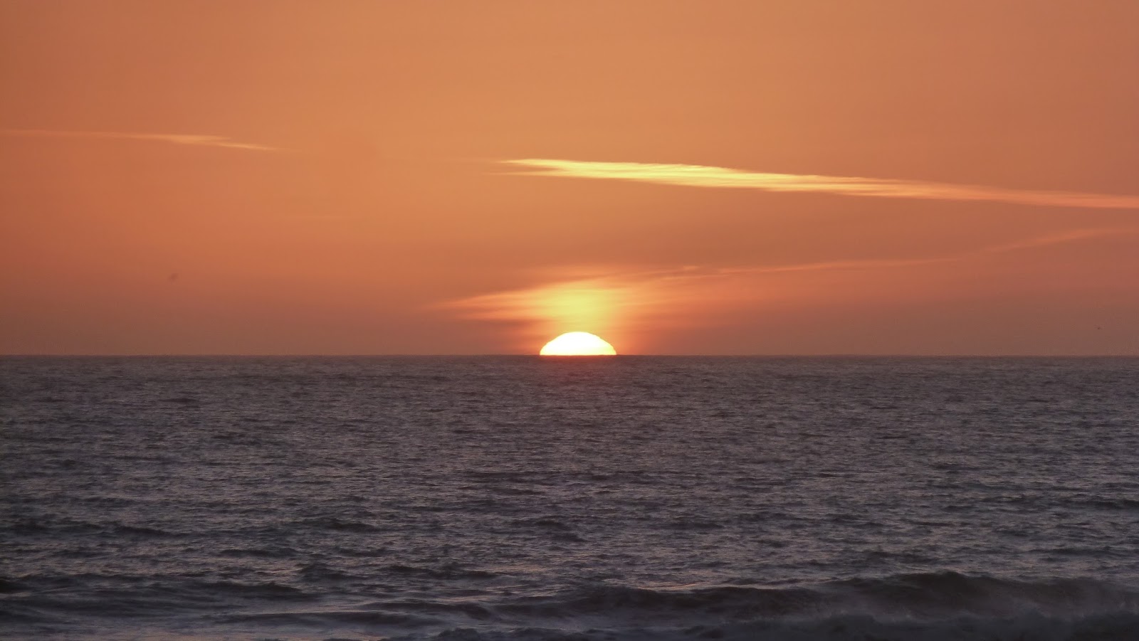
Nepenthe has been run by the same family since 1949. It is hard to imagine a nicer outlook while eating your lunch. I would advise booking to make sure of this view. It was almost hot on the terrace. We took a chance on warm sunshiny weather in February for the whole of a 17-day trip, but that's what we got. Sunny is how one imagines California: it has to be.

After lunch we backtracked a couple of miles to Pfeiffer Beach. Access down to the sea along the Big Sur coastline is for the most part restricted by either private property or steep cliffs. The road to Pfeiffer isn't easy to find. Sycamore Canyon Road is not signposted, so you need to know the turn is beyond the entrance to Pfeiffer Big Sure State Park, to the right if you're travelling south. If you reach Big Sur post office, you've gone too far. It's sealed (and ungated) at the top by the Highway, but over the couple of miles to the beach the road is narrow and winding, potholed and rough-going in places, so isn't suitable for trailers.


Taking good photographs of waves crashing through a curious hole was as challenging as finding the road to Pfeiffer.
We continued on down this glorious highway. We observed Gray Whales off shore: they migrate south in the northern hemisphere autumn from their summer feeding grounds off Alaska to the waters around Baja California where they breed. When we were there, they were heading back up north with their calves. There were piles of brown seals on remote beaches. And we witnessed a disturbing road-rage incident as I took the picture below. I imagined there was a Kathy Bates-style crazy woman behind the wheel of a car honking its horn and tailgating another far too fast and close around the z-bends.


The colony numbers some 23,000 seals, spread along ten kilometres of beach, but they are never all in residence at the same time. From January to May there may be many thousands, however, and as many as 100 alphas fighting for their patch. They weigh up to 2300 kg (females weigh 800 kg) and measure up to 5 metres in length (females are 4 metres). Pups are born in January and breeding follows a month later. An elderly couple (of humans) alongside us were watching the goings-on. The woman observed matter-of-factly to her husband: 'There's a lot of rape going on down there.'
 |
| Alpha plus hareem and pups |
 |
| The boss |
 |
| The babes |

 |
| A neighbour |
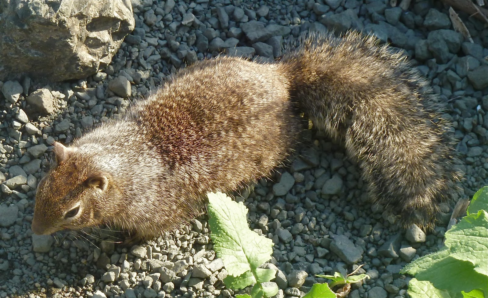
We spent two nights in a large, light and airey house right on Cayucos Beach, with views to Morro Bay and its extraordinary Rock, part of a chain of extinct volcanoes. Morro Bay is a fishing town, with wetlands and other interesting features to explore for those with time; Cayucos is smaller and sleepier, with a great pier. We chilled, ate fish, and ran along the beach in comfortable temperatures for once. The shorebirds were numerous and long-beaked.


 |
| Surfin USA |


Nice pictures and very interesting journey. LA Hotels
ReplyDeleteThank you, but please don't use my blog for advertising.
ReplyDelete