

In early October 2012, we intended to walk to the Lower Portals on Mt Barney at the end of a weekend exploring the Condamine gorge and Spicer's Gap in the Scenic Rim. A series of delays – including a hangover, the mistaken belief that you can still drive through that particular Gap, and getting lost back and beyond Lake Maroon – meant we reached Mt Barney at teatime, and in oppressive grey weather.
Last weekend we tried again, leaving Brisbane about half past nine on Saturday morning, in constant rain. It takes only about an hour and a half down the Mt Lindesay Highway to get to the Scenic Rim. We stopped in Beaudesert for a little look around. The coffee was good at ....bean to?, and we sat and watched the world of utes and trailers and horse transporters go by. And the weather was improving.
I love small-town shops. Do all good Queensland fashionistas know what Smoky Mountain boots are? Should I have picked up some pagan supplies for a friend?


 |
| Whiptail Wallaby, aka Pretty-faced |


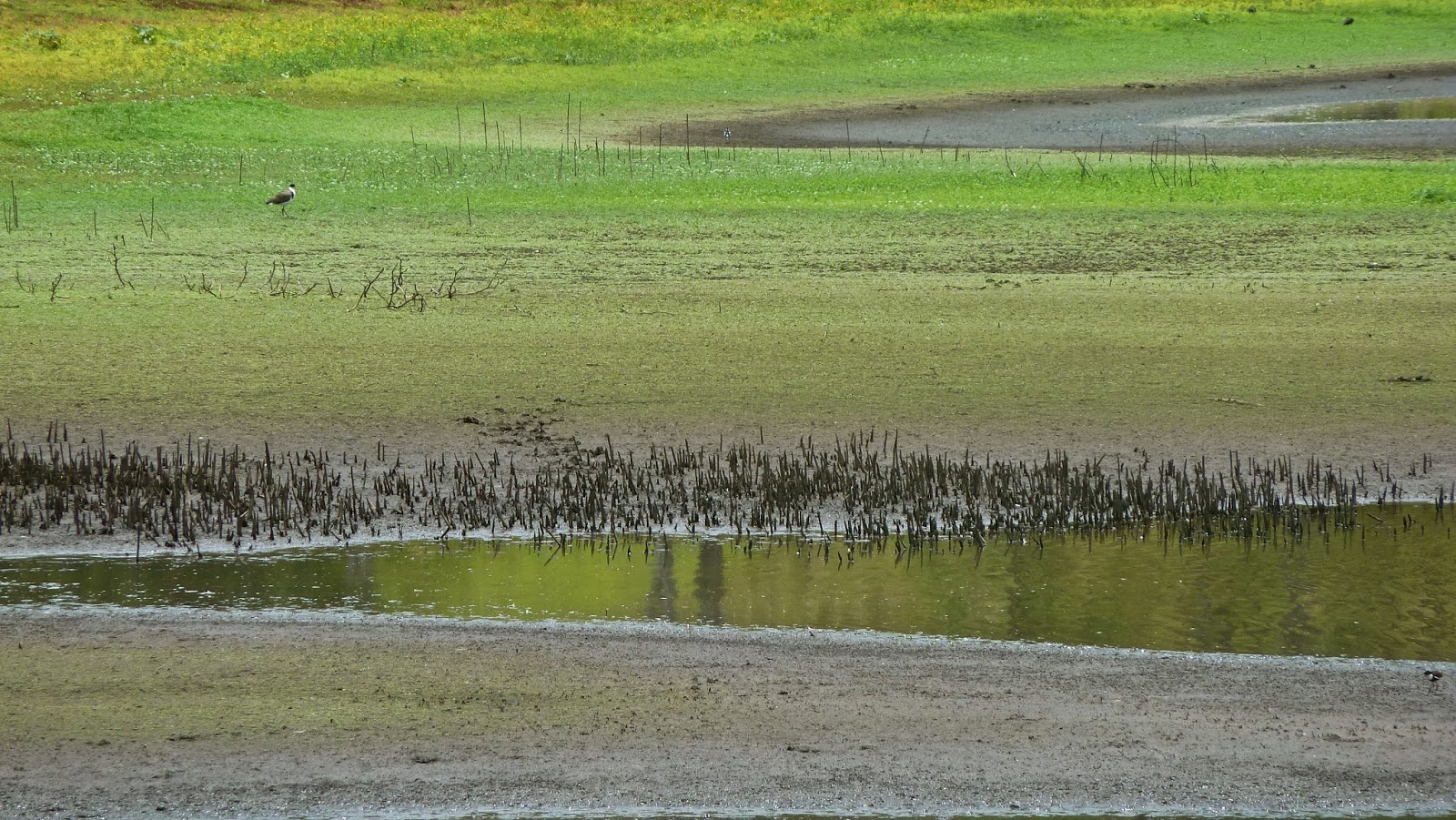
We met no one along the way, which was great. Rather like in Carnarvon Gorge, the birds seemed to occupy their own zones: first were the Kookaburras; then the parrots – King, Crimson Rosellas (below) and Black Cockatoos; then tink-tinks (Bellbirds); and Red-browed Finches. There were also Currawongs, Fairy Wrens, Wagtails and another new one for our list, the Black-faced Monarch.


I like Scenic Rim country. The original vegetation might be long gone, but there are gently rolling curves as well as craggy peaks; dilapidated, corrugated outhouses; and a pleasing mix of patchworked crops and beautiful brown cows.


On Monday there was more unfinished business to attend to. This time last year we tried to flee from Oswald by returning to Brisbane via an inland route, namely Kyogle and Lions Road into Queensland. Lions Road has many creek crossings and it was impassable following massive rain. This year, we decided to return home that way, in the opposite direction – and what an interesting journey it was.
The road is so-named because it was built by the Lions clubs of Kyogle and Beaudesert after requests for a connecting road through the Richmond Gap in the McPherson Range were turned down by the New South Wales government in 1969. The project inspired the communities which donated money and manpower. Linking shire roads in Gradys (NSW) and Running (QLD) creeks, Lions Road was opened at the end of 1970, and the last section sealed in 1995. Contributions towards its upkeep are still gratefully accepted on the border.


The contrast between the cleared land on the Queensland side of the border and the forest of New South Wales was marked.


A few kilometres down the road was the Border Loop Lookout. The Cougal Spiral railway links the two states through the Richmond Gap. To reduce the length of the tunnel beneath the border at the summit, the line circles back on itself by means of two short tunnels in a small hill, enabling it to climb 100 metres without progressing forwards, before reaching the border tunnel. Unfortunately there were no trains to be seen.


As we drove down towards the Summerland Way there were many creeks and rickety rackety bridges as the railway shadowed the road. Ultimately, we reached the crossing where we had been unable to proceed last year. It was shocking to realise how deep the water must have been: in the third picture below, taken from the other side, there is no sign of a bridge.


Similarly in Kyogle, we were surprised to see how far beneath the Barry McPaul Bridge the waters of Fawcetts Creek were: last year they lapped at the sides of the bridge, threatening to inundate the road.
Only one cafe in the high street was open this Australia Day, but that was all we needed: the coffee was good and strong and they sold my friend's favourite ice creams.
We left town on the Kyogle Road, climbing the Border Ranges towards Murwillumbah. Unable to resist further detours, we discovered a dark and brooding Lillian Rock. On the other side of the watershed, we picked up the Tweed River. At Terragon we turned left, where there was a turtle on the Tweed. We followed Byrrill Creek Road past secluded properties and through part of Wollumbin State Forest to Tyalgum. We were circling Mt Warning, but it remained true to its Aboriginal name, meaning cloud catcher, and I only caught the briefest of glimpses through low whispy cloud. It troubles me when I should be able to see Mt Warning but I cannot.


We headed back east following the Oxley River, through pretty country with intriguingly named places such as Dum Dum, Doon Doon and Dunbible. We skirted Murwillumbah through it western suburbs – if indeed it is large enough to have suburbs – and climbed up and over the state border once more. The road follows Currumbin Creek and the border, distinguished by a no man's land between a vermin fence on the Queensland side and another fence close by. From Tallebudgera you can't access the Pacific Highway at West Burleigh, please note. It flies overhead, so you have to turn back towards Reedy Creek, and the inevitability of Brisbane.
* a reader has informed me this is a Mountain Katydid, a bush cricket (or long-horned grasshopper)
** my friend tells me that this is most likely a Spiny Mountain Crayfish
This post was last edited on 11 February 2014


What a great trip, beautifully described and photographed. It's made me realise how easily satisfied I am with tiny Brisbane reserves that I haven't yet explored out this way - but you've inspired me!
ReplyDeleteI believe that red and blue insect is a Mountain Katydid - the display is quite famous in entomological circles! :)
Oswald was a shocker last year, I too found it to be what I thought was cyclone-strength in inner-Brisbane. The effect on the creeks you passed by was dramatic!
there are so many delights within easy reach of Brisbane, and the Scenic Rim has many of them. so glad you enjoyed reading about this trip, and thanks for your encouraging remarks.
Deletethanks also for your insect identification! i shall amend the copy immediately!