Essentially it took two days to drive from Sonoma to Death Valley: yet again, we had underestimated distances, as well as our desire to observe the ever-changing California landscape. Having endured Interstate 5 from Los Angeles to San Francisco the first day, we chose to head back down south closer to the Sierra Nevada, on State Route 99 to Bakersfield, where I'd booked a 'boutique hotel'.
It was a heavily industrialised route, through towns and cities one had always imagined smaller and prettier: Modesto; Merced; Fresno; and Visalia, where we'd foolishly hoped to find a picturesque pull-in for a picnic lunch. We ended up in someone's orange grove, half expecting to be moved on. California is a fine place to live – if you happen to be an orange, said comedian Fred Allen many decades ago. The San Joaquin Valley has mile after mile of fruit trees, many of which were blossoming beautifully.
Unfortunately, snow-capped peaks and flowers soon gave way to thousands of nodding donkeys in the Kern River Oil Field, the scale of which was both mesmerising and appalling.
I had no great expectations of Bakersfield, an oil town 175 kilometres south of Fresno and about the same distance north of LA, with whom it shares a huge air pollution problem. It is also known for its own style of country music and the largest Basque community in the US.
Surprisingly, the Padre was exactly what it claimed to be. Built in 1928, it's been tarted up bigtime and really is boutiquey, with monochrome furnishings and large minimalist bathrooms. The wallpaper is presumably designed to make oil men feel at home. We ate in the Belvedere restaurant that night and it was excellent. We followed pork belly starters with Wagyu burgers, unfortunately leaving no room for pudding.
The next day our departure was delayed by a walk around the block near the Padre – I kinda liked Bakersfield for some inexplicable reason – and a detour to Panorama Drive to fully appreciate the oil field.
 |
| Great Blue Heron, America's largest |
 |
| Prairie Dog |
We left town on State Route 58, travelling southeast as far as junction 167. On the way there was an enormous wind farm and slopes splashed with orange, a foretaste perhaps of the floral display we might see in Death Valley.
We turned northeast on the 14. In order to see Red Rock Canyon State Park we had to take a left on to the 395. These impressively coloured and sculpted badlands can be seen to the right of the road, and then along a small detour circuit off to the left. Layers of red and white sediments that have been folded into accordion shapes are topped with more resistant basalt or volcanic tuff. The layers were originally deposited in a lake and subsequently lifting by faulting.
 |
| 'Muffin' rock |
We continued north and turned right on to the 178 for Inyokern and Ridgecrest. The road was dead straight with the odd right-angle as it skirted China Lake Navel Air Weapons Station. My disquiet at our proximity to such a place was slightly tempered by this large flock of Snow Geese.
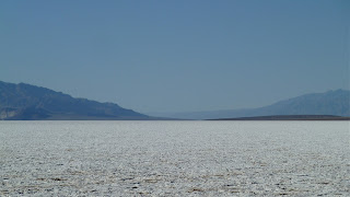
Highway 178 gradually turns north-east beyond the eastern edge of China Lake, and heads towards the rather bleak Searles Valley. We'd stopped to take photographs of what we assumed was a salt pan in the middle distance when I noticed strange rock formations to the southeast. In my research of this route I had completely missed the extraordinary Trona Pinnacles National Natural Landmark.
There was a rough track leading in their direction. Despite our relatively slow progress – the original plan was to be descending into Death Valley by mid-afternoon – our lack of a proper off-road vehicle, and the Pinnacles being further away than they looked – about 8 kilometres – we had to investigate. In fact, we didn't quite reach them. Ideally, you need to walk around them up close, but we didn't have the time. We made it to a much nearer vantage point for photography, however.
These clusters of spires and pinnacles are made of tufa (calcium carbonate), formed underwater between 10,000 and 100,000 years ago on the Searles glacial-lake bed. Unsurprisingly, this strange landscape has been used as a set for Star Trek and Planet of the Apes among other films. We were 550 metres above sea level 30 kilometres from Death Valley National Park, parts of which are 100 metres below sea level.
There were lots of idle train trucks, used for transporting borax, the white stuff, to a processing centre at Trona 16 kilometres up the road. The town was a desolate place.
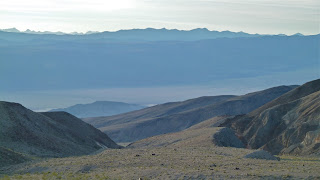
From Trona we dropped down into the Panamint Valley. The landscape had taken on an even larger-scale feel. We couldn't work out where there was a gap through the Paramint Range into Death Valley; not until we reached the junction with State Route 190, in fact. By now the sun was going down, and as we climbed there was a spectacular blue-grey vista behind us. The road reached almost 5000 feet (4956) before starting its descent. You can climb higher by turning right a bit further on, into Emigrant Canyon Road. From Aguereberry Point you can gaze down at Death Valley from 6433 feet (much more impressive than in meters). The view point is at least 30 kilometres from the 190, and half of it is a dirt track. It would have been dark by the time we got there.


Once in Death Valley, we drove quickly to Furnace Creek, determined to be enjoying a beer by sundown. We saw flowers, but the light was fading fast and tomorrow we had a whole day to devote to this extraordinary part of the world.
The desert 'superbloom' stole the show, of course, despite the remarkable and expansive rocky landscape. After breakfast, we headed back towards Stovepipe Wells, where I'd stayed once before. We'd only driven a few metres before we had to stop and admire the flowers. All along the 190 visitors were crouched by the roadside, admiring and photographing.
 |
| Desert Gold |
 |
Clockwise from left: Purplemat, Brown-eyed Evening
Primrose and Desert-Star |
 |
| Desert-Star and Scented Cryptantha, right |
 |
| Turtleback |
 |
| Desert Trumpet |
 |
| Death Valley Sage |
 |
| Lesser Mojavea |
 |
| Notch-Leaf Phacelia |
 |
| Globemallow |
 |
| Golden Evening-Primrose |
 |
| Broad-Leaved Gilia |
We were told the orange entanglement might be parasitic, although I preferred to think not.
In press coverage of the superbloom, they'd featured a truly stunning plant – the Desert Five-Spot. We couldn't find it and had to ask at the ranger station in Stovepipe Wells. The ranger showed us exactly where to go: Mud Canyon, where the plant enjoys a slightly higher elevation than the Valley floor. There was great excitement on finding the first one, but I couldn't stop searching for them, nor photographing them. These are some of many. Technically a herb in the Mallow family, this beauty is also called the lantern flower.
 |
| Pebble Pincushion, left, and Five-Spot |
The more we looked at flowers, the more new ones we discovered, which became addictive. At the outset we'd have been happy to spot a dozen, but there were many more. There were also plants with interesting foliage but no flowers. I have identified fewer than half of them.
We didn't see any birds, in fact, but while gazing at low-lying plants, lizards could sometimes be spotted on rocks. So well camouflaged were they, you could only see them if they moved.
In terms of dramatic landscapes, there was more than we could ever see in a day, so we had to make choices. I chose the Mesquite Flat Sand Dunes near Stovepipe Wells. Unfortunately, they were too well trampled. What is needed is a system of marked pathways to discourage visitors from wandering randomly into my photographs – although they did provide scale.
There was a useful sign, which read:
Sand is everywhere in the desert, but sand dunes are not. For sand to gather into dunes it takes three things: a supply of sand, strong wind, and something to slow that wind. Sand erodes from the mountains around Death Valley. Winds from the north carry sand down the valley until they hit the bulk of Tucki Mountain towering [in their way], causing sand to collect at its foot. Southerly winds form a huge eddy in the leeward side of the same mountain, adding even more sand. The sands shift with every windstorm, but the dunes are trapped in place.
My friend chose Mosaic Canyon, on the other side of Stovepipe Wells from the Dunes. Once upon a time, a lot of water poured through a narrow gap, smoothing rock into marble worktops and depositing alien pieces where they didn't belong. Not all the geology was explainable; and plants grew out of rock, seemingly without soil or moisture. The photographs begin at the head of the canyon.
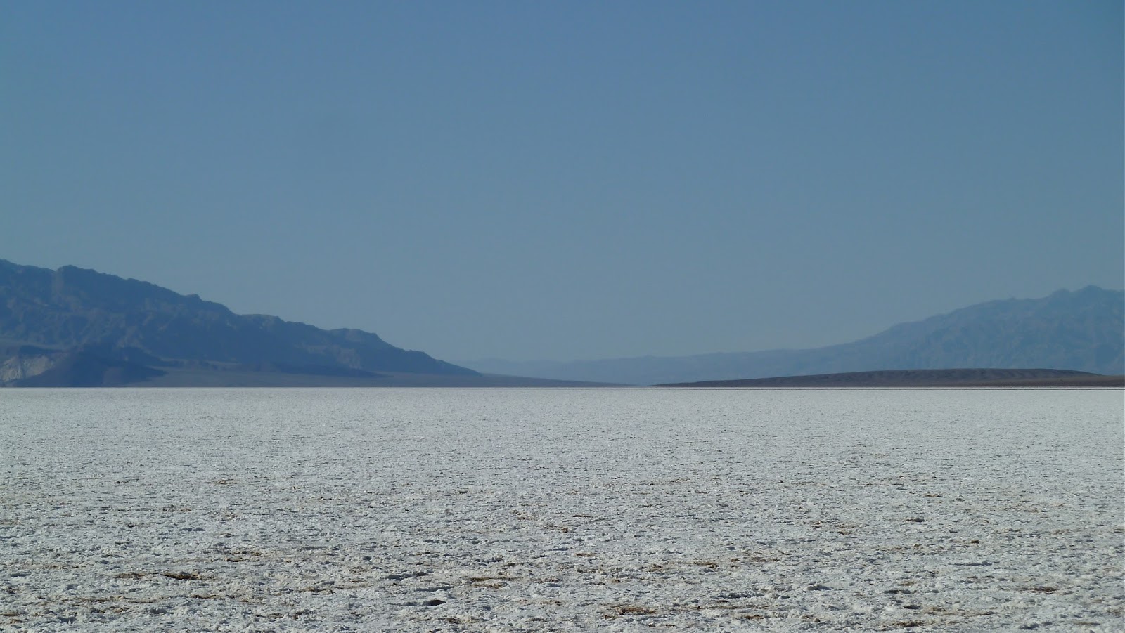
It is impossible to choose the most impressive sight in Death Valley, but Badwater has to be a serious contender. Not surprisingly, it's down Badwater Road from Furnace Creek, and it's the lowest point in the Valley. It was mid-afternoon by the time we got there and it was hot, in February. The sun reflected off the white surface. How hot does it get in August? Humidity from the pool makes it feel hotter.
Badwater got its name after an early surveyor could not get his mule to drink the water in the pool. It wasn't poisonous, just extremely salty. An ancient aquifer feeds the pool: the water emerges along a faultline at the base of the mountains. Plants and aquatic insects survive there, as well as the Badwater Snail, Death Valley's rarest creature, which lives in springs on the edges of the salt flats.
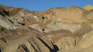
On the way back to Furnace Creek we detoured via Artist's Drive, a tortuous one-way loop past eroded deposits that, illuminated by late afternoon sun, display an extraordinary colour 'palette'. Successive volcanic eruptions more than five million years ago deposited minerals that were subsequently altered by heat and water. Factors such as cloud cover and the presence of moisture in the air alter the colours continually.
We stayed in The Inn at Furnace Creek, which I suspect has seen better days. It was in a great spot and had a pleasant, old-time resorty feel to it. We had a big bed but in a little room, and the restaurant seemed to be short-staffed, but there was a lovely terrace from which to watch the sunset, the stars, and the rising sun's light hit the Valley walls.
The same rain that had produced the wonderful flowers messed up Badwater Road south of Badwater Basin. This was the route we'd been planning to take out of Death Valley National Park. It meant we had to swap a few visits around, but it also meant we had one last scenery spectacular the next morning before hitting the road for Joshua Tree…